At the end of February, we decided we were overdue for a road trip. Jessica had just finished working 9 days in a row and Steve had just had his busiest week yet. We decided to travel 300 km up the east coast of Victoria towards the border with New South Wales.
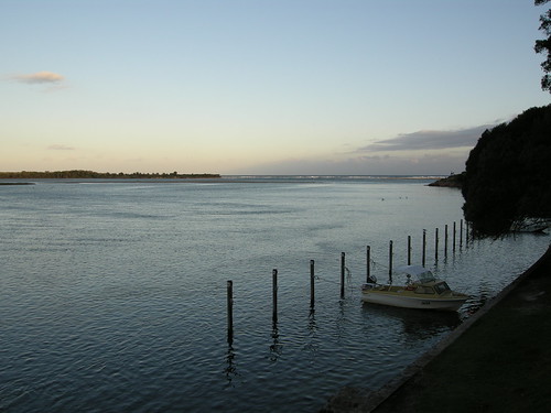
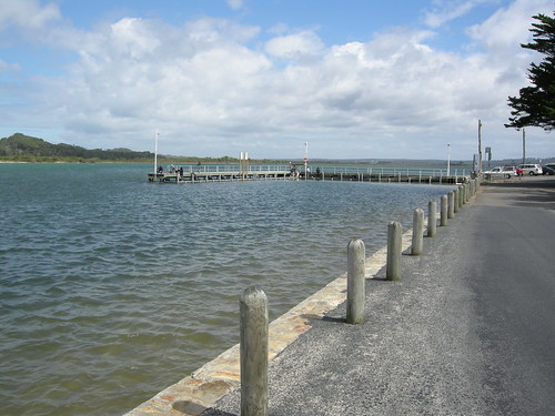
Unfortunately, at knock-off time (read: quitting time) on Friday, it was raining, and no one likes camping in the rain. So we waited until Saturday morning, checked the weather forecast, and determined the rain would stay in Sale. We packed the packed and headed towards the Wilderness Coast. To get there, we drove towards Bairnsdale, the western portal of East Gippsland, as well as East Gippsland's only city (in an area of 32,000 sq km). From there, we headed towards our first stop, Orbot. It is the 3rd largest town in East Gippsland, with a population of 2500. We stopped at the slab hut, which was built in 1872 and has since been turned into an info center. We found some post cards, and bought our first souvenir, a coffee table book titled: Images of Gippsland. It even has a picture of Jessica's workplace in it. A quick walk through the Forest Reserve (read: park), and then we were off to Marlo, a 10 minute drive down the Snowy River (yes, as in the movie, The Man From Snowy River). Marlo has a population of around 300, and its big slogan is "Marlo: Where the Snowy Meets the Sea". Here we pulled in and watched the fishermen fish, the pelicans bob in the river, and went for a walk down the river towards the Sea. It is a very picturesque little area, although our photos might not show it off all that well.
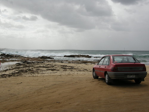
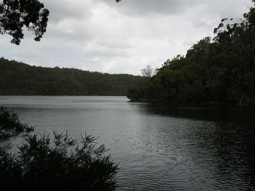
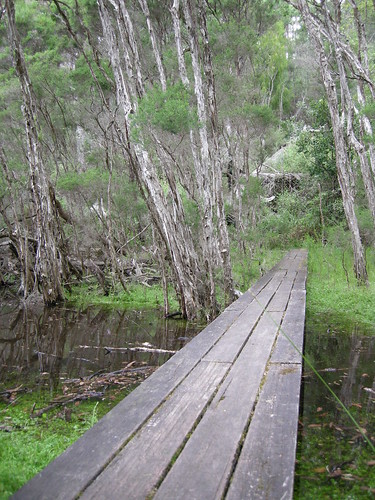
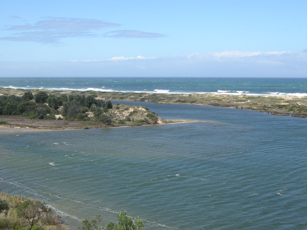 We took a scenic detour along the coast looking out to banksia trees and sand dunes, and stopped at Cape Conran National Park for lunch. We walked from the East Cape beach to the end of the Cape, and then headed on towards Mallacoota, still 3 national parks and another 150 km away. Mallacoota is a laid-back town of about 3000, nestled in Croajingolong National Park, and equidistant from Sydney and Melbourne (about 500 km). It is Victoria's eastern most town, and the warmest town in the winter, so we might just head back. We chose this location because the guide book mentioned a company that had kayak and mountain bike rentals, but because of insurance issues, they had since gone out of business. We enquired at the info center about renting a canoe, but again, no one was willing to rent out a canoe because of problems with insurance. Instead, we spent the weekend walking along the Mallacoota inlet - which the locals call top "lake" and bottom "lake" - and along the many beautiful beaches (including secret beach, which really WAS hard to find). The locals kept apologizing for the weather, as it was windy, but as long as we escaped the rain back in Sale, we were happy. Our campsite looked out at the inlet, and if we had wanted we could have had a waterfront site with mooring. It was a short trip, but overall it was one of our favorite spots we've been