Thursday, September 11, 2008

Red Centre adveNTure

Finally, another trip and another blog post.

We awoke early last Tuesday and left Sale at 5am for a flight to Alice Springs, to begin our adventure in the outback. We rented a car and stocked up on supplies before beginning the 470 km drive to Watarrka National Park. Of course, google maps shouldn't be relied upon, as it might direct you along dirt roads meant for 4WD vehicles, which our rental Yaris was not. Northern Territory is quite the change from our pastoral area in Gippsland, and we were delighted to see camels, kangaroos and a dingo by the side of the road.


We woke up the next morning and took a stroll to Kings Canyon, just missing sunrise. We attempted half the climb (dubbed Heart Attack Hill) before we decided we should go back to camp and get some food before tackling the 6km hike. The walk provided spectacular views of the 300m gorge, as well as of the expanse of desert around us.
View from our campsite. I've never seen dirt so red.
Jessica starting heart attack hill
Looking up at the climbIt doesn't look that bad, does it?View of the Canyon from the topTo the Luritja people of the Wararrka area, these domes are young kuninga (marsupial desert cats) men who passed through here during the dreamtime/creation.

With the car packed, and our feet sore from walking, we embarked on another long drive, 300 km to Uluru. We arrived in time to catch the sunset, but rather than watching the sun set behind Uluru (which I think would probably be gorgeous), we watched the rock turn different shades of red. We were pleasantly suprised by a view of the sun setting over Kata Tjuta as we returned to the campground.

The changing colours of the rock at sunset


Sun setting behind Kata Tjuta

Early Thursday we caught the sun rising over Uluru, and walked around a portion of the rock. The base walk is 10km, and -after the 6km hike the day before, and with a moderate hike planned the next day- we decided to drive around it instead, and only walk certain portions. We still managed to see a lot of the rock, and took too many pictures. In the evening we had a tour booked that would take us out to watch the sunset and enjoy dinner under the stars, with an astronomer to explain the constellations - unfortunately it was overcast. However, we were able to try kangaroo and crocodile meat.


Friday morning, it was time for another hike -this time around Kata Tjuta (the Olgas), which are a group of rock formations 25 km from Uluru. There are 36 "domes" that make up the Kata Tjuta (which means "many heads" in Pitjantjajara) and our hike took us on a 7km hike through the valleys. With our feet again tired from walking, we travelled back to Alice Springs, and stayed at Heavitree Gap, a gap in the MacDonnell ranges. There, we were able to feed Rock Wallabies that came down from the hills in the evening.


Our final day (Jessica's Birthday!) we drove west into West MacDonnell Ranges National park, and had a guided tour of Simpson's Gap, before venturing into Standley Chasm. Unfortunately, this meant the end of our trip - once we had flown back to Melbourne and driven the 300km back to Sale anyway.

Curtin Springs cattle station - over 1,000,000,000 acres- between Uluru and Alice Springs. It is near Mt. Conner, but for some reason Mt. Conner doesn't seem to be a tourist destination like Uluru and Kata Tjuta. Curtin Springs made for a good spot to stretch our legs, but we couldn't figure out how to get a meal from their "restaurant".
View of Mt. Conner from the Lasseter highway


More pictures are available here

Friday, July 25, 2008

Australians have strange signs

A few of the photos from the last blog post reminded me that Australia has some strange signs. They also aren't very good at putting signs where you want them to be, but that is another story.


Drive on left in Australia. I hope that people aren't just learning this as they pass the sign. (Great Ocean Road, with high tourist traffic)

Please Check Under Your Car before driving away - there might be a penguin under it. (Phillips Island Penguin Parade)


If I walk into this Cambodian Cafe, doe it take me to Burke road, or to Riversdale road?


Australian wildlife - Kangaroo? Check. Koala? Check. Wombat? Check. Dragon with a scarf?? (Mallacoota, Vic)

Drowsy Drivers Die - now thats stiff punishment! (Gippsland, Vic)

They have trains on roads here? In the background is a sign that clarifies that train tracks cross the side road. Why they need two signs to make this point, I'm not sure. (Gippsland, Vic)

Unfenced cattle and kangaroos in the snow (Mount Hotham, Vic)

Keep left of poles (Mount Hotham, Vic)

Monday, July 21, 2008

Snow

Last weekend we drove up the Great Alpine Road to Mount Hotham. It is supposed to be the mountain equivalent of the Great Ocean Road, which we enjoyed tremendously back in December (wow, was it that long ago?). The Alpine road wasn't as spectacular, but we are going to have to do it again in the spring when the weather is better.We in Omeo (pop: 452) an old gold rush town, for a bite to eat and to rent snow chains for the car ($30 a day rental!). We went for a walk in the snow through Dinner Plain village (population: 88), hung out with snowmen, and got the car stuck in a snowbank, although we were to cold to have the snowball fight that prompted us to "go to the snow" in the first place. (Australians "go to the snow" the same way they "go to the beach".)

Central Post & Telegraph Office in Omeo, built in 1891, looking over Omeo.

Omeo from above. Valleys of rolling hills.

Steve digging the car out of the snowbank
(no chains on the tires yet).

Jessica playing in the snow.

Steve with a new friend.

Keep left of poles. I don't think I'd try to drive through the trees, but who knows?

Watch out for unfenced snow kangaroos!

Tuesday, June 3, 2008

Gippsland Plains Rail Trail

We are long overdue for an update. Life is continuing as normal in Sale, and we have settled in and haven't done much travelling over the last few months. Jessica and Steve are both working full time, and sending money back to Canada to pay down pesky student loans.

Today, we had a day off, so packed up our bikes (thank you garage sales!) and drove to Maffra, where a 10 km section of the 65 km rail trail has been opened. The trail passes through dairy country, with lots of cows by the side of the trail, and views of the dividing ranges to the north. We made it about 7 km before Steve's bike started falling apart. We packed a tool kit just in case, but it didn't have the necessary Allen key. Steve was able to partially fix it, but we decided to turn back, and not press on to Stratford by bike. Another 19 km section of the trail is open at the other end of the old rail track, so we may bike that one next.

Friday, April 4, 2008

The Wilderness Coast - February 2008

This blog post has been waiting for a month. As the cliche goes, better late than never - hopefully the next one will be up soon.

At the end of February, we decided we were overdue for a road trip. Jessica had just finished working 9 days in a row and Steve had just had his busiest week yet. We decided to travel 300 km up the east coast of Victoria towards the border with New South Wales.

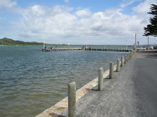
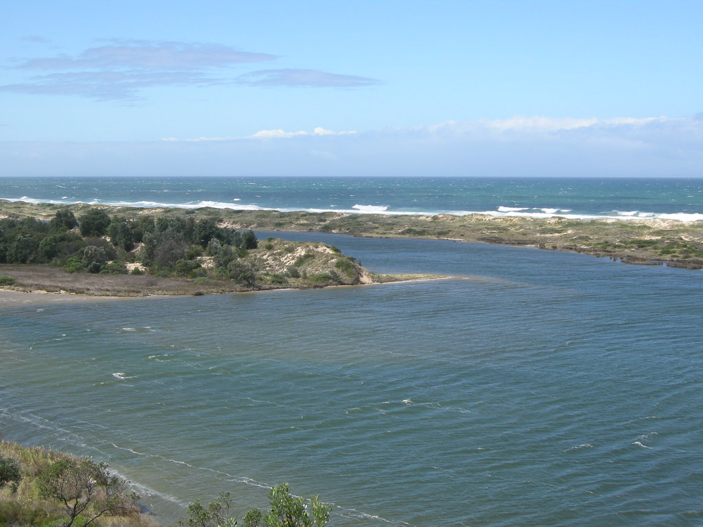
Unfortunately, at knock-off time (read: quitting time) on Friday, it was raining, and no one likes camping in the rain. So we waited until Saturday morning, checked the weather forecast, and determined the rain would stay in Sale. We packed the packed and headed towards the Wilderness Coast. To get there, we drove towards Bairnsdale, the western portal of East Gippsland, as well as East Gippsland's only city (in an area of 32,000 sq km). From there, we headed towards our first stop, Orbot. It is the 3rd largest town in East Gippsland, with a population of 2500. We stopped at the slab hut, which was built in 1872 and has since been turned into an info center. We found some post cards, and bought our first souvenir, a coffee table book titled: Images of Gippsland. It even has a picture of Jessica's workplace in it. A quick walk through the Forest Reserve (read: park), and then we were off to Marlo, a 10 minute drive down the Snowy River (yes, as in the movie, The Man From Snowy River). Marlo has a population of around 300, and its big slogan is "Marlo: Where the Snowy Meets the Sea". Here we pulled in and watched the fishermen fish, the pelicans bob in the river, and went for a walk down the river towards the Sea. It is a very picturesque little area, although our photos might not show it off all that well.
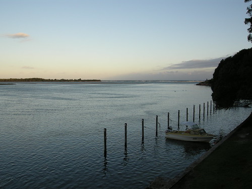
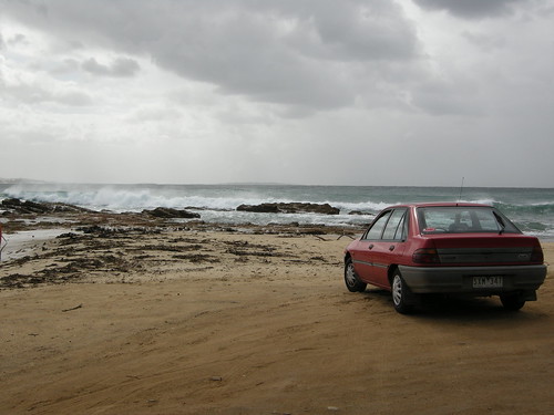
We took a scenic detour along the coast looking out to banksia trees and sand dunes, and stopped at Cape Conran National Park for lunch. We walked from the East Cape beach to the end of the Cape, and then headed on towards Mallacoota, still 3 national parks and another 150 km away. Mallacoota is a laid-back town of about 3000, nestled in Croajingolong National Park, and equidistant from Sydney and Melbourne (about 500 km). It is Victoria's eastern most town, and the warmest town in the winter, so we might just head back. We chose this location because the guide book mentioned a company that had kayak and mountain bike rentals, but because of insurance issues, they had since gone out of business. We enquired at the info center about renting a canoe, but again, no one was willing to rent out a canoe because of problems with insurance. Instead, we spent the weekend walking along the Mallacoota inlet - which the locals call top "lake" and bottom "lake" - and along the many beautiful beaches (including secret beach, which really WAS hard to find). The locals kept apologizing for the weather, as it was windy, but as long as we escaped the rain back in Sale, we were happy. Our campsite looked out at the inlet, and if we had wanted we could have had a waterfront site with mooring. It was a short trip, but overall it was one of our favorite spots we've been

Thursday, March 20, 2008

Happy Easter. We're Off!

We're off to Torquay for the Bells Beach Surf Comp in a couple minutes. There will definitely be a blog post and new pics very soon!

Have a great Easter!